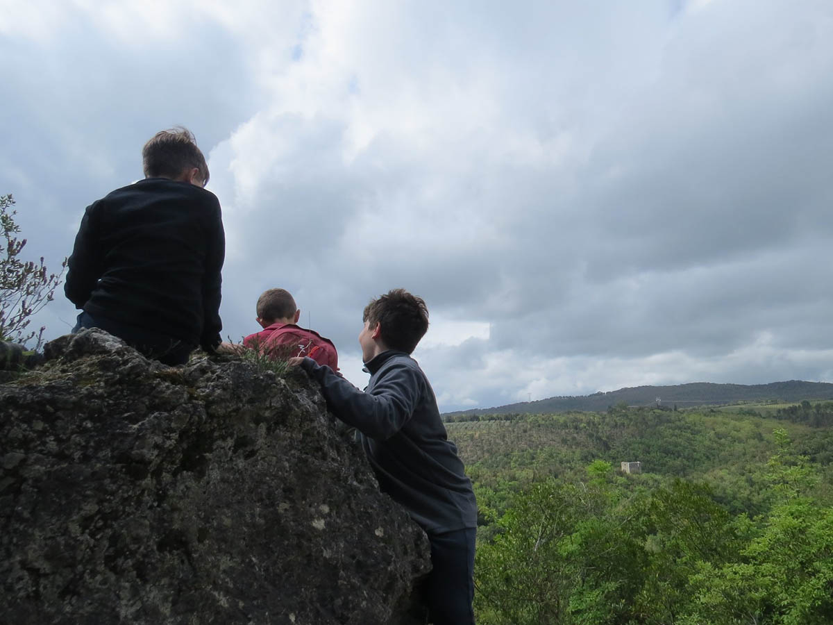
The Green trails Hiking Network
Breath-taking landscapes, unspoiled nature, and a temperate climate all year round. Then, there are also villages, country roads, paths through the woods, parish churches and the ruins of ancient settlements. So get your walking boots and rucksack ready because there’s little chance of getting lost in the Tuscan countryside, since there are numerous well-marked paths and trails indicated on the Green trails network. The sound of your footsteps will guide you. This network, which covers a total area of 83 km, along 6 trails, will allow you to come into contact with the most interesting and unique aspects of the area’s natural heritage and landscape. Also accessible by mountain bike and on horseback, these paths mostly follow a loop, so you can leave your means of transport behind when you start the trail, and you’ll end up right back at the same point at the end of your hike. It is advisable to equip yourself with map of the hiking network, available at the Montaione Tourist Information Office, and a bottle of cold water.
Trail No. 1
Montaione – Mannello – Fornace – Terraio – Montaione
Length: 8 km, difficulty: easy, journey time: 1 hour 30 mins.
This loop is made up of three sections on a paved road and two sections that cut through undergrowth and farmland. The first part of the trail retraces the path of the ancient Via Castellana, which linked Montaione to Castelfiorentino and runs along the Orlo stream.
GPX – PDF
Trail No. 2
Montaione – Bosco Gucci – Cappella del Lupo – Castelfalfi – Sughera – Piaggia – Galano – Montaione
Length: 16 km, difficulty: easy, journey time: 3 hours 15 mins.
This is a relatively easy route, which can be tackled in any season. It includes two fords, where you will have to wade across the Evola stream, and two challenging climbs. It consists of three sections in the forest and two stretches of paved road that connect back to the hiking trail. This trail partly follows the ancient road that the farmers from Piaggia and the surrounding areas used to travel to the village.
GPX – PDF
Trail No. 3
Montaione – Tre Ponti – Fiume Egola – San Vivaldo – Montaione
Detour A: Poggio all’Aglione, Length: 7.8 km, difficulty: easy, journey time: 2 hours 20 mins.
Detour B: Pozzo Latino – Le Tagliate, Length: 3.4 km, difficulty: easy, journey time: 1 hour.
Detour C: Fiume Egola – Montaione, Length: 3.4 km, difficulty: easy, journey time: 2 hours 20 mins.
Rather than a loop, this trail is a small network of routes, which is made particularly interesting due to the possibility of taking a variety of detours and the proximity of places of historical interest en route, such as the “Jerusalem” of San Vivaldo and the Roman Cistern. It mainly consists of trekking through woodland, interspersed with stretches of paved roads connecting the various sections of the trail. The part of the route that runs along the Evola stream is more challenging, recommended only for more experienced walkers, and visitors should be especially cautious during periods of heavy rainfall.
Trail A: GPX – PDF
Trail B: GPX – PDF
Trail C: GPX – PDF
Trail No. 4
San Leonardo – Pietrina – Palagio – Casicello – Iano – Marrado
Extended route: Iano – Pian della Querce
Length: 10.4 km, difficulty: easy, journey time: 2 hours 30 mins.
Made up of three loops, this is an easy trail that can be hiked in all seasons. It winds its way mainly through wooded areas with interesting lookout points, including the breath-taking panorama that can be enjoyed from the Promontory and Sanctuary of Pietrina.
GPX – PDF
Trail No. 5
Castelfalfi – Iano – San Vivaldo – Vignale – Cappella del Lupo – Castelfalfi
Extended route: Capanne – Vignale Vecchio
Length: 20.2 km, difficulty: easy, journey time: 4 hours.
This is one of the longest routes, on dirt roads connected by sections of paved roads. Two tangential loops run through open countryside between ravines and areas of farmland. Excellent on mountain bikes.
GPX – PDF
Trail No. 6
Casastrada – Collegalli – Balconevisi – Casastrada
Extended route: Collegalli – Sughera
Length: 13.7 km, difficulty: easy, journey time: 3 hours 30 mins.
This trail is quite long, and it is made up entirely of gravel paths or dirt roads. Great for mountain biking. It leads through a particularly interesting area, the forest and ravines of Collegalli, with stunning scenery and natural surroundings. A slight detour on this trail joins up with the path to the village of Sughera.
GPX – PDF
Extended: GPX – PDF
For GPS tracking data and trail descriptions, visit: www.toscananelcuore.it